Filters
Filters
- Masters
- Master degree
- Natural Sciences Programs
- Geoinformatics
Sort by
9 Geoinformatics Master's Degree Programs
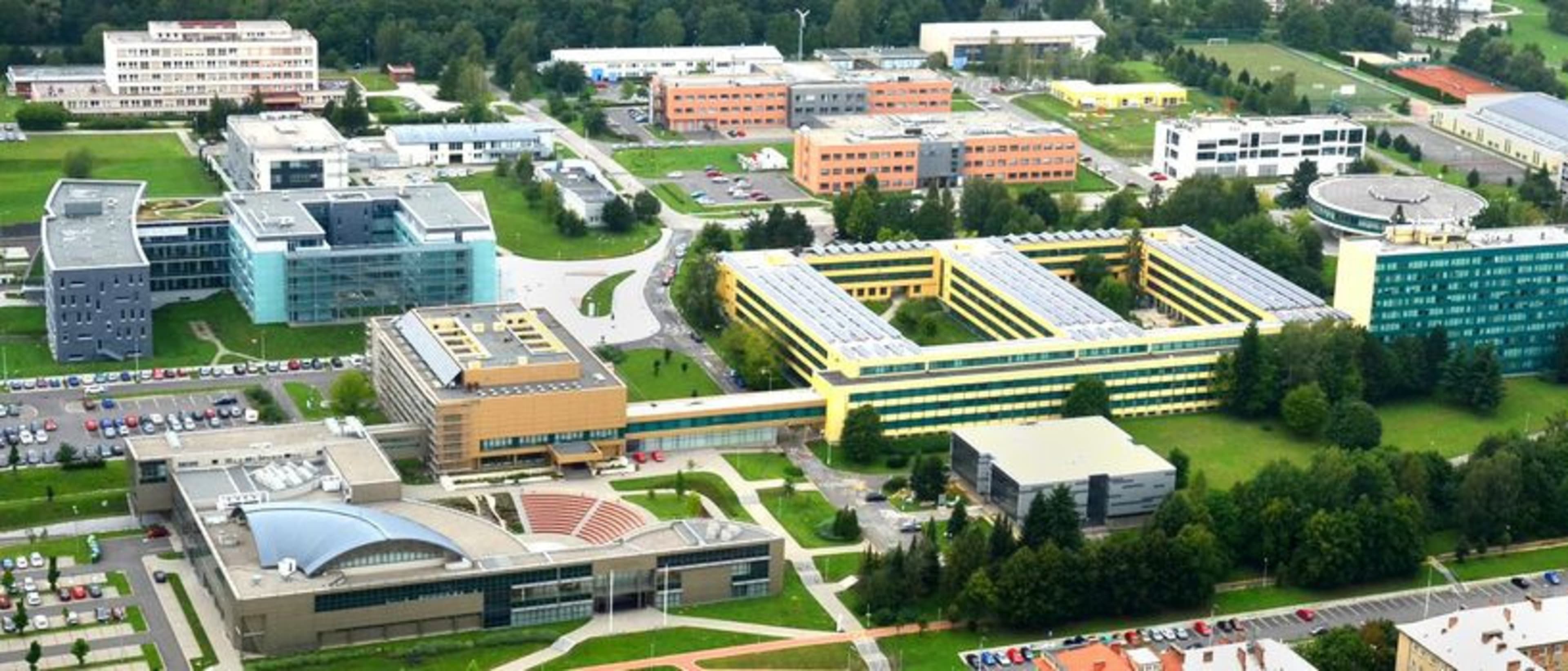

VSB - Technical University of Ostrava
Masters in Geoinformatics
- Ostrava, Czech Republic
Master degree
Full time
2 years
On-Campus
English
We encounter Masters in Geoinformatics every day, literally at every turn - whether it's navigation, weather forecasting, maps or gaming. During your studies, we'll teach you how to transform the world around you into a digital environment, fly drones, use state-of-the-art GPS devices, use artificial intelligence, and create 3D models.


University of Jaén
Masters Degree in Geomatic Engineering and Geoinformation
- Jaén, Spain
Master degree
Full time
2 years
On-Campus
Spanish
Geoinformation is key to understanding and analysing regional development. Recent decades have brought major changes, with the appearance of new spatial and aerial sensors and platforms, including unmanned systems; neocartography; information processing systems, and IT networks facilitating access to information. This has triggered a technological revolution and a major shift in the way we approach geomatic engineering.
Best programs for you
Answer a few questions and we'll match you with programs!
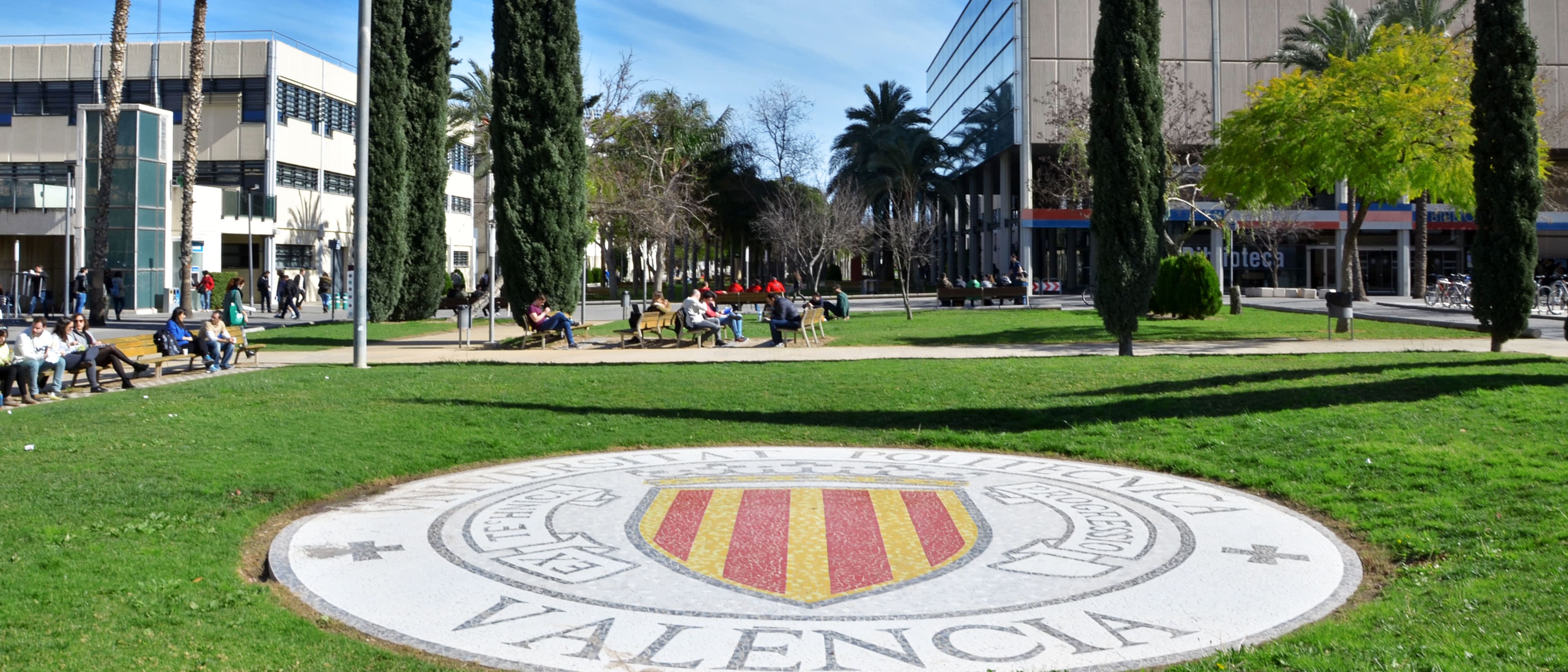

Universitat Politècnica de València (UPV)
Máster Universitario en Ingeniería Geomática y Geoinformación
- Valencia, Spain
Master degree
Full time
2 years
On-Campus
Spanish
The Máster Universitario en Ingeniería Geomática y Geoinformación provides training in geographic information technologies applied to the study and management of the territory and the environment at the different scales it presents, provides theoretical knowledge, and has a marked practical nature in the management of equipment and the resolution of problems. issues.


NOVA IMS - Information Management School
Fast-track counseling
Master's Degree in Geographic Information Science and Systems - Specialization in Geospatial Data Science
- Lisbon, Portugal
Master degree
Full time
2 years
Distance Learning, Blended
Portuguese
Fast-track counseling
This Master's degree is developed in collaboration with UNIGIS, an international network that brings together the best schools in the field of Geographic Information Systems, and has obtained GEOINT (Geospatial Intelligence) accreditation from the United States Geospatial Intelligence Foundation (USGIF), being the first course outside the USA to be accredited by this organization.


City University Of New York
Master in Geoinformatics
- New York, USA
Master degree
Full time
On-Campus
English
The Master in Geoinformatics program offers a comprehensive education focused on the use of technology to analyze and interpret spatial data. Students learn to utilize Geographic Information Systems (...


Birmingham City University
Masters by Research in Built Environment - MRes
- Birmingham, United Kingdom
Master degree
Full time
On-Campus
English
The Master’s by Research in Built Environment offers students a chance to develop specialized knowledge and skills in areas related to sustainable development, urban planning, construction, and relate...


National University of La Plata
Master's in Geomatics
- La Plata, Argentina
Master degree
On-Campus
Spanish
The main objective of the Master's in Geomatics is to train specialized professionals in all activities related to the acquisition, production, management, and applications of computerized geographic information.


National Technical University of Athens
Μεταπτυχιακό Γεωπληροφορικής
- Zografou, Greece
Master degree
Full time
On-Campus
Greek
Το ΔΠΜΣ έχει σαν στόχο την διεπιστημονική εμβάθυνση των διπλωματούχων Μηχανικών του ΕΜΠ ή και άλλων ΑΕΙ της χώρας, ή ισοτίμων της αλλοδαπής και άλλων επιστημόνων, αφενός στη συλλογή, γεωαναφορά, περιγραφή, ερμηνεία και απεικόνιση χωρικών δεδομένων του φυσικού, τεχνικού και κοινωνικοοικονομικού περιβάλλοντος και αφετέρου στην ανάλυση και στο σχεδιασμό του χώρου, με τη χρήση σύγχρονων μεθόδων και τεχνολογιών αιχμής και ιδιαίτερα της πληροφορικής.


Vancouver Island University
Master of Geographic Information Systems (GIS) Applications
- Nanaimo, Canada
Master degree
English
Take your love of mapping things out, analyzing data and using spatial science to predict change to the next level with a Master of Geographic Information Systems Applications at VIU. GIS master’s program graduates have a wide range of career opportunities in areas such as forestry, resource management, urban and rural planning, government, banking, transportation and many more. The MGISA program is available to students with any undergraduate degree who have experience or training with GIS. This online Master of Geographical Information System covers both academic and practical application of spatial analysis, learning in classrooms and working hands-on with ArcGIS by ESRI GIS software.
Popular Natural Sciences Programs Geoinformatics degree types
Popular study format
Popular locations
Learn more about Geoinformatics Master's degree programs
Studying Geoinformatics at the Master's level offers a chance to explore the integration of spatial data with technology. This field is vital for addressing complex issues like urban planning, environmental management, and disaster response.
Through courses in spatial analysis, remote sensing, and geographic information systems (GIS), you'll learn to collect, analyze, and visualize geographic data. Engaging in project-based learning enables you to apply theoretical knowledge to real-world problems. Students strengthen adaptability as they navigate diverse datasets and innovate solutions that contribute to informed decision-making.
Completing a Master's in Geoinformatics equips you with specialized skills such as developing spatial databases, programming geospatial applications, and applying machine learning techniques to geographic data. Graduates can pursue careers as geospatial analysts, urban planners, or environmental consultants, making an impact in various sectors that rely on precise geographic insights. This degree not only fosters technical competencies but also encourages a critical understanding of how spatial technologies shape our world.