Filters
Filters
- Masters
- Natural Sciences Programs
- Geoinformatics
Sort by
47 Geoinformatics Masters Degree Programs

Promoted
Boston University Graduate School of Arts & Sciences
MS in Remote Sensing & Geospatial Sciences
- Boston, USA
MSc
Full time
2 semesters
On-Campus
English
With an MS in Remote Sensing & Geospatial Sciences, your career options are endless. Private, public, and nonprofit sectors demand professionals with advanced technical skills who can organize and analyze spatial data sets. From governmental planning, defense, and transportation departments; to environmental, resource management, and public safety agencies; to consulting firms, research labs, and academia, your skills are in demand.


Promoted
University of Tartu
M.Sc. in Geoinformatics for Urbanised Society
- Tartu, Estonia
MSc
Full time
2 years
On-Campus
English
The programme prepares specialists on handling and analysing spatial data and developing decision support systems.

Promoted
University of Pretoria - Faculty of Natural and Agricultural Sciences
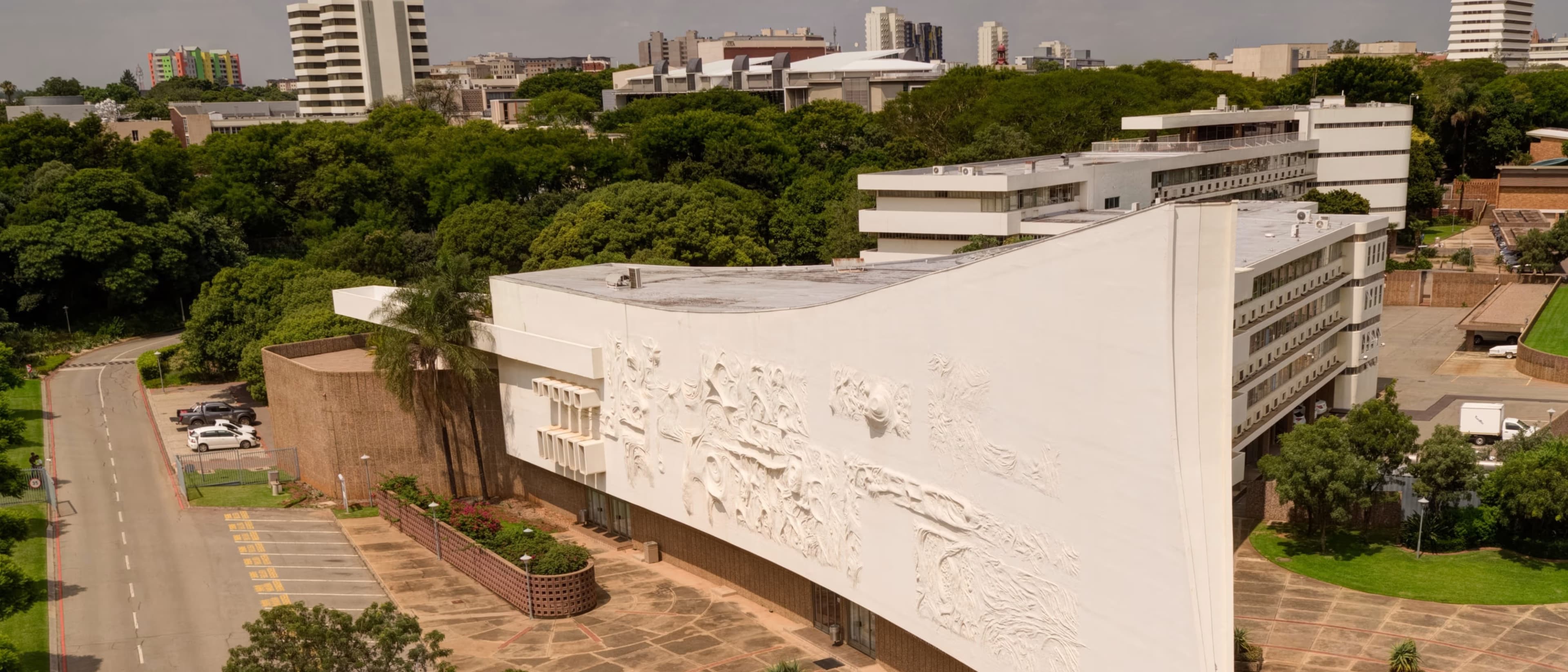
MSc (Geoinformatics)
- Pretoria, South Africa
MSc
Full time
1 year
On-Campus
English
The progress of all master's candidates is monitored biannually by the supervisor and the postgraduate coordinator. A candidate's study may be terminated if the progress is unsatisfactory or if the candidate is unable to finish his/her studies during the prescribed period.


Eötvös Loránd University
Fast-track counseling
Geoinformatics MSc
- Budapest, Hungary
MSc
Full time
2 years
On-Campus
English
Fast-track counseling
In everyday life, we all use geoinformation systems in an unnoticed and self-evident way. Geoinformatics is essentially dealing with the management and processing of spatial data, but also includes map visualization, primary and secondary data collection procedures, and geographic analysis.

VSB - Technical University of Ostrava
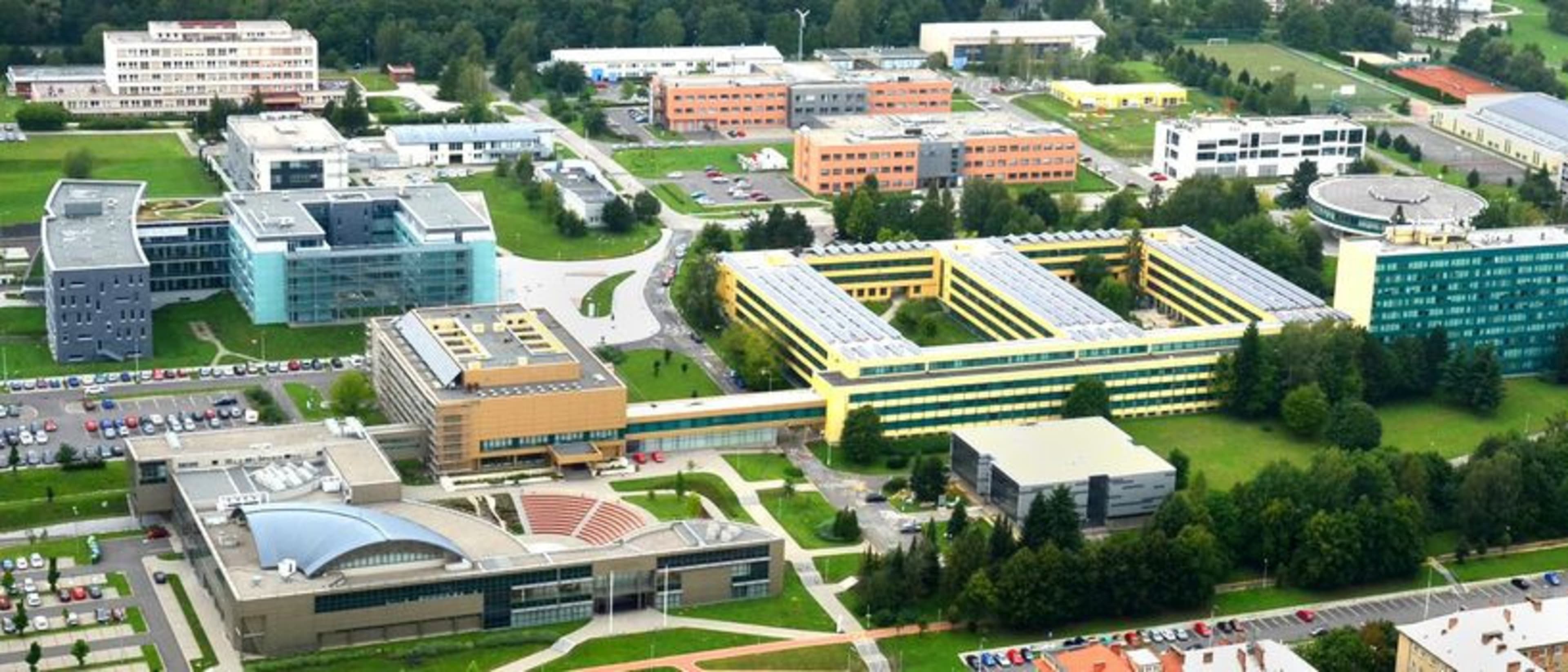
Masters in Geoinformatics
- Ostrava, Czech Republic
Master degree
Full time
2 years
On-Campus
English
We encounter Masters in Geoinformatics every day, literally at every turn - whether it's navigation, weather forecasting, maps or gaming. During your studies, we'll teach you how to transform the world around you into a digital environment, fly drones, use state-of-the-art GPS devices, use artificial intelligence, and create 3D models.
Best programs for you
Answer a few questions and we'll match you with programs!


Politecnico di Milano
MSc in Geoinformatics Engineering
- Milan, Italy
MSc
Full time
2 years
On-Campus, Blended
English
The Geoinformatics Engineering Master of Science is the first in Italy and exploits the long lasting experience of Politecnico di Milano in both Environmental, Geomatics and Computer Science to form new and multidisciplinary experts highly requested by both private and public sectors.

University of Pécs
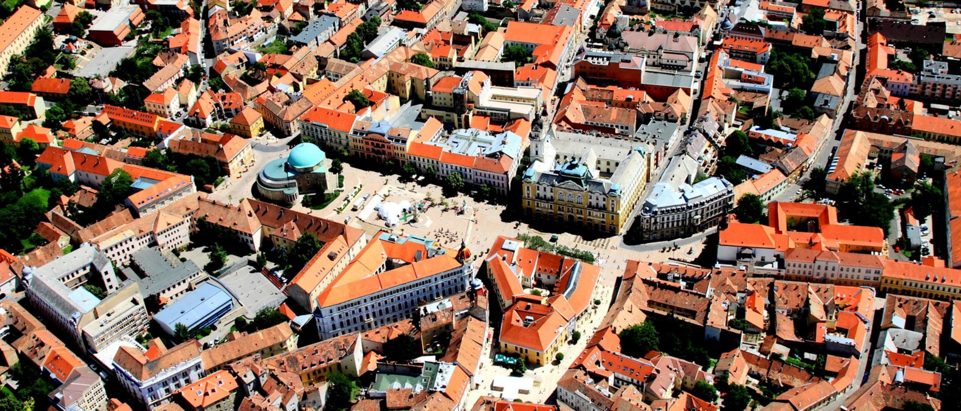
MSc in Geoinformatics
- Pécs, Hungary
MSc
Full time
4 semesters
On-Campus
English
The MSc in Geoinformatics provides a broad spectrum of GIS, Earth observation, CAD, WebGIS, Database management, GIS programming surface modeling, and 3D visualization-related disciplines for all international students. The program also includes a six-week professional practice at self-selected private and public businesses and companies, however, the practice is also available at the university and at the IGES. By completing the professional practice, the student will gain a broad range of practical and project management skills and knowledge to explain, analyze, interpret and execute various planning programs.


University College London (UCL)
Geospatial Sciences (Geographic Information Science and Computing) MSc
- London, United Kingdom
MSc
Full time, Part time
1 year
On-Campus
English
This MSc program offers a comprehensive overview of geospatial sciences, focusing on how geographic information systems (GIS), remote sensing, cartography, and data analysis come together. Students learn to collect, analyze, and interpret spatial dat…


University College London (UCL)
Computational Archaeology: GIS, Data Science and Complexity MSc
- London, United Kingdom
MSc
Full time, Part time
1 year
On-Campus
English
This master's program combines methods from computational archaeology, GIS (Geographic Information Systems), data science, and complexity theory. It aims to give students practical skills to analyze and interpret archaeological data through digital t…


KTH Royal Institute of Technology
MSc Transport and Geoinformation Technology
- Stockholm, Sweden
MSc
Full time
2 years
On-Campus
English
Functional and environment-friendly transport systems are vital in a sustainable society. Students gain expertise in transport and geoinformation technology and learn how to plan, build and maintain advanced transport systems. Graduates blend practical data collection and modelling skills with an interdisciplinary understanding of transport and geoinformation that lead to job opportunities in various sectors.


University of Jaén
Masters Degree in Geomatic Engineering and Geoinformation
- Jaén, Spain
Master degree
Full time
2 years
On-Campus
Spanish
Geoinformation is key to understanding and analysing regional development. Recent decades have brought major changes, with the appearance of new spatial and aerial sensors and platforms, including unmanned systems; neocartography; information processing systems, and IT networks facilitating access to information. This has triggered a technological revolution and a major shift in the way we approach geomatic engineering.

Universitat Politècnica de València (UPV)
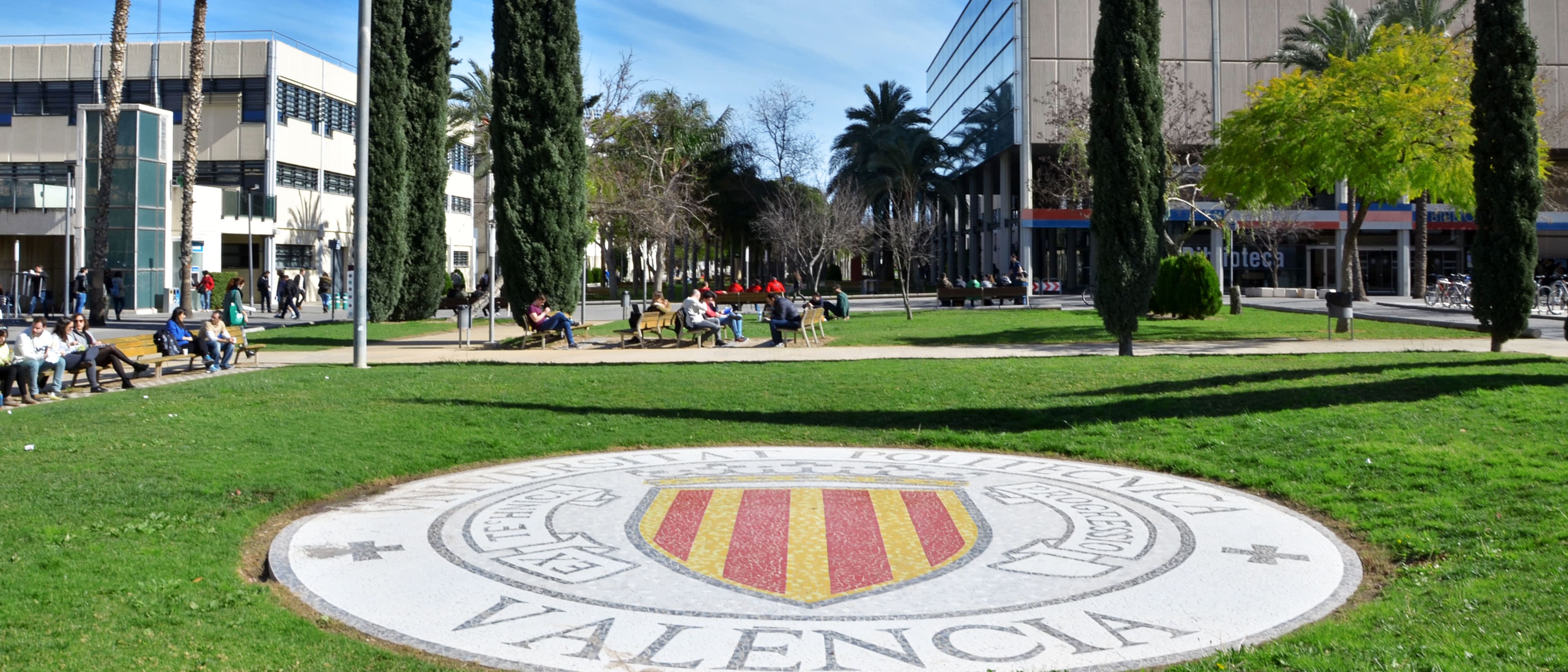
Máster Universitario en Ingeniería Geomática y Geoinformación
- Valencia, Spain
Master degree
Full time
2 years
On-Campus
Spanish
The Máster Universitario en Ingeniería Geomática y Geoinformación provides training in geographic information technologies applied to the study and management of the territory and the environment at the different scales it presents, provides theoretical knowledge, and has a marked practical nature in the management of equipment and the resolution of problems. issues.

University of Sopron
MSc in Geobioinformatics
- Sopron, Hungary
MSc
Full time
2 semesters
On-Campus
English
Unifying Biology, Informatics, and GIS for Future Innovations


Johns Hopkins University, Advanced Academic Programs
Master of Science in Geographic Information Systems
- Online USA
MSc
Part time
1 year
Distance Learning
English
The Johns Hopkins Online Master of Science in Geographic Information Systems (GIS) offers you a scientific foundation in the fascinating fields of spatial data modeling, spatial data analysis, geo-visualization, and enterprise GIS architecture.
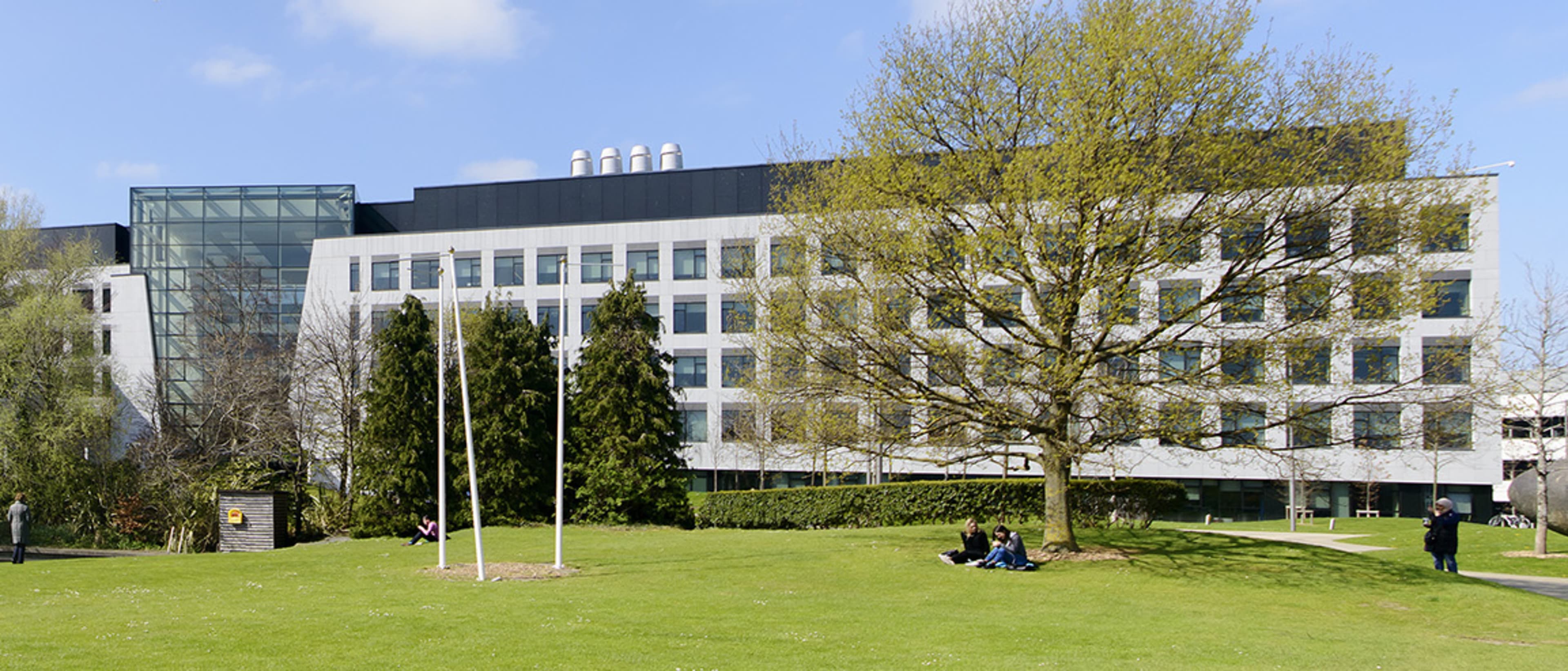

University College Dublin
Fast-track counseling
MSc Subsurface Geomodelling
- Dublin, Ireland
MSc
Full time
1 year
On-Campus
English
Fast-track counseling
This unique and forward-looking MSc is designed to provide you with a solid grounding in key modern principles and methods required for a career in applied geology in our changing world. The course is taught by experts from diverse geoscience disciplines, including pure and applied geology, geophysics, geomodelling and computational geoscience, with experience in the minerals and geo-energy sectors. It focuses on generic aspects of data interpretation, analysis and computer modelling of the deeper and shallow subsurface using real-world data and leading industry software (e.g., Petrel, Leapfrog, ArcGIS Pro).
Popular Natural Sciences Programs Geoinformatics degree types
Popular study format
Learn more about Geoinformatics Masters degree programs
Geoinformatics master’s degree programs focus on the integration of geography, information technology, and data analysis. This interdisciplinary field offers exciting opportunities to work with spatial data and geospatial technologies, preparing you for impactful careers.
Through courses in remote sensing, geographic information systems (GIS), and spatial data analysis, you'll learn to collect, analyze, and visualize geographic information. You'll develop skills in programming for GIS applications, managing spatiotemporal data, and creating interactive mapping solutions. The curriculum also emphasizes project-based learning, allowing you to tackle real-world problems while refining your expertise.
As students engage with complex spatial challenges, they enhance their critical thinking and analytical skills. Graduates typically pursue careers in urban planning, environmental management, and disaster response. They increasingly find roles in both public and private sectors, contributing to data-driven decision-making processes. Geoinformatics professionals are valued for their ability to understand and address pressing issues through innovative spatial analysis techniques.

