Filters
Filters
- Preparatory
- Natural Sciences Programs
- Geoinformatics
- On-Campus
Sort by
9 Geoinformatics Preparatory Programs


Sandhills Community College
AAS in Geomatics Technology
- Pinehurst, USA
Associate of Applied Science
On-Campus
English
The Geomatics Technology program is a course of study that prepares students to use mathematical and scientific principles for the delineation, determination, planning, and positioning of land tracts, boundaries, contours, and features applying principles of route surveying, construction surveying, photogrammetry, mapping, global positioning systems, geographical information systems, and other kinds of property description and measurement to create related maps, charts, and reports.

Itasca Community College
Associate of Science in GEOGRAPHY / GIS, AS DEGREE
- Grand Rapids, USA
Associate of Applied Science
Full time
On-Campus
English
The Geography/Geographic Information Systems (GIS) Program is designed to provide individuals with a background in geography, spatial processes, mapping techniques, and managing and utilizing geographic information as a planning and decision-making tool.
Best programs for you
Answer a few questions and we'll match you with programs!


SAIT - Southern Alberta Institute of Technology
Diploma in Geomatics Engineering Technology
- Calgary, Canada
Diploma
Full time
2 years
On-Campus
English
The Geomatics Engineering Technology program will provide you with extensive practical skills combined with a broad theoretical background to acquire tools and techniques used in: land surveying, remote sensing, cartography, geographic information systems (GIS), global navigation satellite systems (GPS), photogrammetry, geography and digital mapping.

Northwest Kansas Technical College
AAS in Precision Agriculture
- Goodland, USA
Associate of Applied Science
On-Campus
English
Precision Agriculture Technology is a comprehensive program that provides a solid background in high-tech practices, equipment, and software utilized in production agriculture.
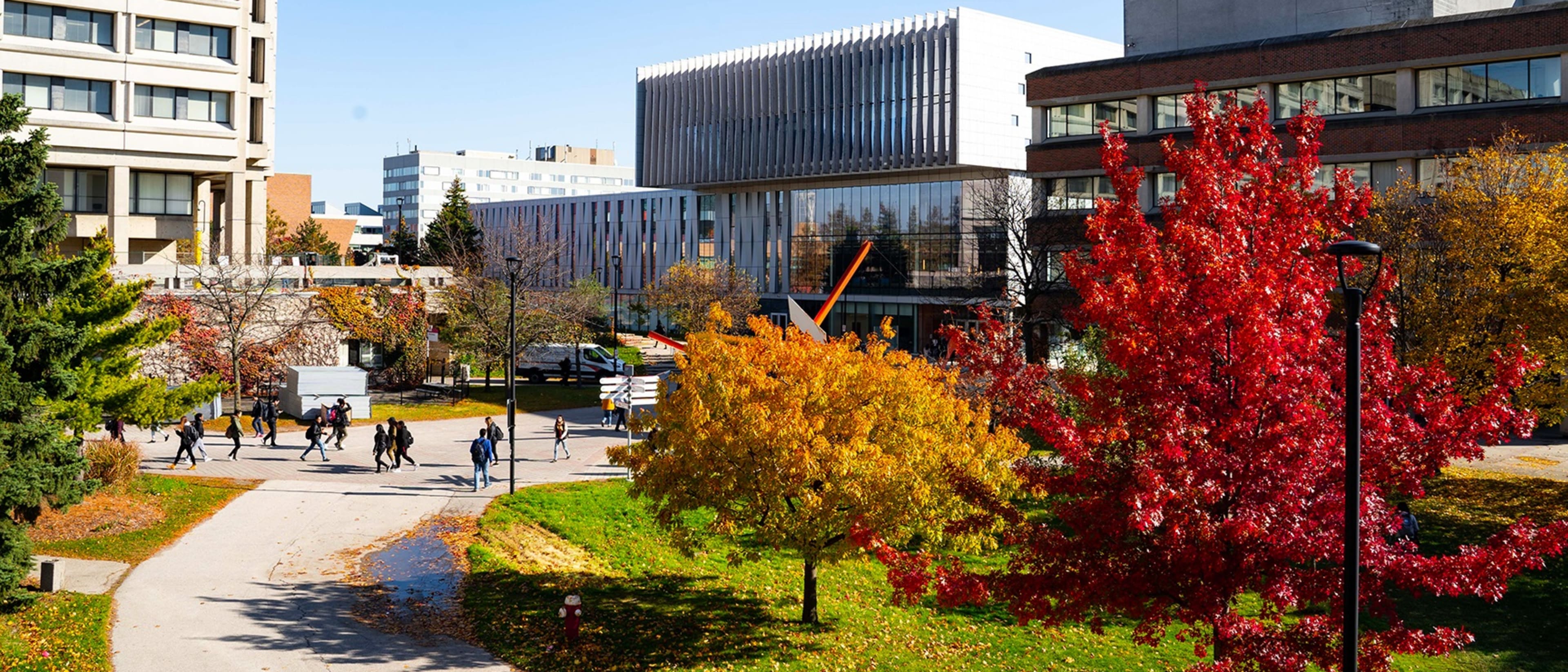

Faculty of Environmental & Urban Change | YORK UNIVERSITY
Certificate in Geomatics: Geographic Information Systems (GIS) and Remote Sensing
- Toronto, Canada
Certificate
Full time, Part time
1 year
On-Campus
English
Geomatics encompasses the logic, art, science, and technology involved in collecting, managing, and communicating geographically-referenced information in its many forms. The Geomatics Certificate combines the study and immersion within the major developments experienced in geographical information science, geographic information systems, remote sensing, photogrammetry, and global positioning systems by linking theories and science to experiences that intersect hardware, software, equipment, algorithms, and techniques.

Saskatchewan Polytechnic
Certificate in Geographic Information Science
- Prince Albert, Canada
Certificate
Full time
32 weeks
Blended, On-Campus
English
Geographic information science (GIS) is a relatively new field that uses computer technology to link maps to digital data. Resource managers and urban planners rely on the expertise of GIS technicians when they are making critical decisions about asset management, environmental assessment, development, and harvest. GIS skills are applicable in any organization that maintains assets in the environment.

Delaware Technical And Community
AAS in Geographic Information Systems Technology
- Georgetown, USA
Associate of Applied Science
On-Campus
English
Geographic Information System (GIS) is a computer-based tool used to help analyze data with a geographic reference. The GPS navigation systems in our cars and on our smartphones are just one example of how modern-day society has come to rely on GIS technology.

The Arava Institute for Environmental Studies
Geographic Information Systems (GIS)
- Ketura, Israel
Course
On-Campus
English
The course introduces the concepts and application of geographic information systems and science (GIS). It is designed for students without former GIS experience. It focuses on the use of GIS for scientific inquiry and its application for real-world problem-solving.

Mountain Empire Community College
Geographic Information Systems (GIS)
- Big Stone Gap, USA
Course
On-Campus
English
Classes offered in the Geographic Information Systems (GIS) program will provide a hands-on approach to education that will prepare you to work with GIS in the field. The program will prepare you to address advanced topics in problem-solving, decision-making, modeling, programming, and data management, using 2D and 3D data.
Popular Natural Sciences Programs Geoinformatics degree types
Popular study format
Learn more about Geoinformatics Preparatory programs
Future or current engineers, interested in the surveying technology used in applications like cartography, may be interested in pursuing the study of geoinformatics. As a branch of engineering, geoinformatics can be focused on the technology, collection, preservation, and analysis of geography.