Filters
Filters
- North America
- USA
- Natural Sciences Programs
- Geoinformatics
- On-Campus
Sort by
22 Geoinformatics Degree Programs in USA


Promoted
Boston University Graduate School of Arts & Sciences
MS in Remote Sensing & Geospatial Sciences
- Boston, USA
MSc
Full time
2 semesters
On-Campus
English
With an MS in Remote Sensing & Geospatial Sciences, your career options are endless. Private, public, and nonprofit sectors demand professionals with advanced technical skills who can organize and analyze spatial data sets. From governmental planning, defense, and transportation departments; to environmental, resource management, and public safety agencies; to consulting firms, research labs, and academia, your skills are in demand.


Promoted
South Dakota - School of Mines and Technology
PhD in Geology, Geological Engineering, and Mining Engineering
- Rapid City, USA
PhD
Full time
4 years
On-Campus
English
Students must elect to pursue a specialization in Geology, Geological Engineering, or Mining Engineering. Those interested in paleontology at the PhD level enroll in the Geology Specialization. Each specialization has different background and program requirements. The available coursework and current faculty expertise support the following areas of concentration.

University of Texas at San Antonio
Geoinformatics (MS)
- San Antonio, USA
MSc
Full time
On-Campus
English
The Master’s Program in Geoinformatics offers in-depth training in the analysis and management of spatial data, focusing on the development and application of advanced geospatial technologies. Student...

City University Of New York
Master in Geoinformatics
- New York, USA
Master degree
Full time
On-Campus
English
The Master in Geoinformatics program offers a comprehensive education focused on the use of technology to analyze and interpret spatial data. Students learn to utilize Geographic Information Systems (...
Best programs for you
Answer a few questions and we'll match you with programs!
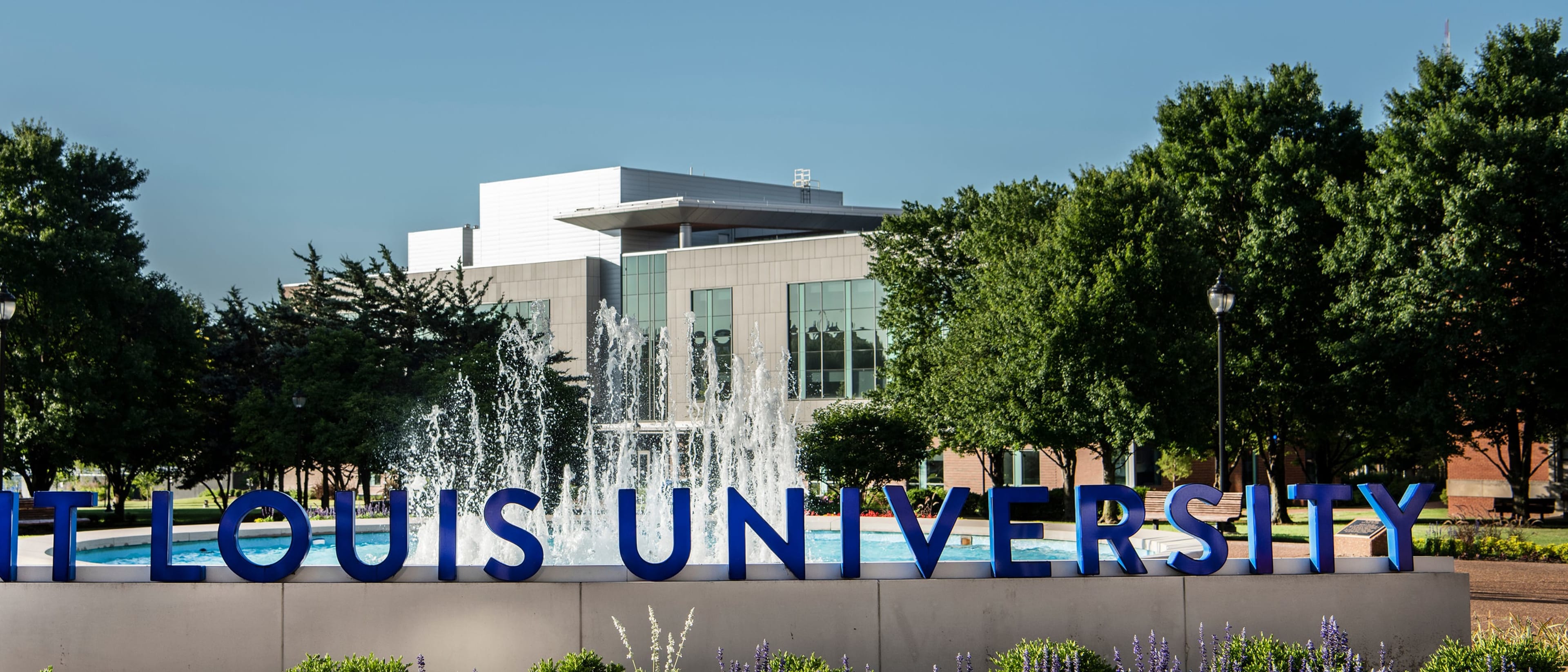

Saint Louis University
Ph.D. in Geoinformatics and Geospatial Analytics
- St. Louis, USA
PhD
Full time
4 years
On-Campus
English
Geoinformatics is a field of study involving the science and technology dealing with the acquisition, storage, processing production, presentation, and dissemination of geoinformation using the theory and practical implications of geodesy within information science infrastructure. The core of geoinformatics is geospatial analytics, a branch of data science that focuses on developing cutting-edge technologies supporting processes of acquiring, analyzing, and visualizing geospatial Big Data. Advances in various location-aware technologies, (e.g., GPS, the Internet of Things (IoT), mobile sensors, remote sensing), and ever-increasing time-stamped, location-based data from sensors as diverse as satellites, drones, and smartphones have created unprecedented demand and opportunities for code-savvy geospatial professionals with the ability to automate processing, visualizing and finding patterns in both structured and unstructured data.

Boston University Wheelock College of Education & Human Development
MS in Remote Sensing & Geospatial Sciences
- Brookline, USA
MSc
Full time
32 hours
On-Campus
English
The master’s in Remote Sensing & Geospatial Sciences (RS & GS) is designed for students with diverse natural science and social science backgrounds who desire specialized training in the use of remote sensing and geographic information systems (GIS) in environmental and natural resource analysis and management.

City College Of San Francisco - all 11 locations
Advanced Certificate in GEOGRAPHY AND GIS Earth Sciences Department
- San Francisco, USA
Advanced Certificate
On-Campus
English
About Geography and Geographic Information Systems (GIS) Geographers study the relationships among places, natural systems, society, and cultural activities and the interdependence of these from the spatial perspective. Geographers today are active in the examination and planning of our communities and the development of our human landscapes along with the study of global warming, deforestation, pollution, and a variety of other environmental quandaries. The Associate in Arts in Geography for Transfer (AA-T) is specifically designed to prepare you for transfer to a CSU geography program at the upper-division level. It may also be appropriate for transfer to other four-year institutions. To accomplish this goal, you will complete transferable lower-division courses in geography and related fields. As a geography major, you will be able to take most or all of your lower-division courses at CCSF before you transfer but should see a counselor confirm your program of study. Additional courses might be required to transfer to particular institutions. The GIS Certificate is for students who for their major or career need to develop in-depth knowledge of the fundamental concepts and practice of Geographic Information Systems (GIS) and learn hands-on problem-solving skills doing real-world GIS application projects. Students will be able to apply this knowledge and hands-on skills to various fields including, but not limited to, planning, engineering, geography, criminology, real estate, biotech, public utilities, transportation, forestry, ecology, resource management, emergency response, business/marketing. Explore Potential Careers Studying Geography and GIS can lead to a variety of different jobs or career paths. Below are just some of the many options you will have. Cartographers Emergency Management Planners Environmental Planners GIS Analysts and Specialists Location Analysts or Area Specialists Remote Sensing Analysts and Specialists Researchers Transportation Planners and Managers Urban and City Planners

University of Wisconsin-Madison College of Letters and Science
MS in Cartography and Geographic Information Systems
- Madison, USA
MSc
On-Campus
English
The Department of Geography offers a thesis-based master of science in Cartography and Geographic Information Systems. The program provides a broad foundation in the theory and application of mapping and geographic information sciences.

Albion College
Geographic Information Systems Minor
- Albion, USA
Bachelor's degree
Full time
4 years
On-Campus
English
Create and use digital maps to assess and solve complex, real-world problems. Learn to use geographic and spatial data to analyze characteristics and build visual representations of the Earth’s surface.

Sandhills Community College
AAS in Geomatics Technology
- Pinehurst, USA
Associate of Applied Science
On-Campus
English
The Geomatics Technology program is a course of study that prepares students to use mathematical and scientific principles for the delineation, determination, planning, and positioning of land tracts, boundaries, contours, and features applying principles of route surveying, construction surveying, photogrammetry, mapping, global positioning systems, geographical information systems, and other kinds of property description and measurement to create related maps, charts, and reports.

University of Idaho
Geographical Information Systems, B.S.
- Moscow, USA
BSc
Full time
On-Campus
English
The Bachelor of Science in Geographical Information Systems (GIS) program offers students a comprehensive understanding of spatial data analysis, cartography, remote sensing, and GIS software applicat...

University of California Santa Cruz
Geographic Information Systems, Spatial Technologies, Applications, and Research, M.A.
- Santa Cruz, USA
MA
Full time
On-Campus
English
The Master of Arts in Geographic Information Systems, Spatial Technologies, Applications, and Research is designed for students interested in using geographic data to solve real-world problems. The pr...
Saint Louis University
Master of Science in Geographic Information Science
- St. Louis, USA
MSc
Full time
2 years
On-Campus
English
Saint Louis University’s master’s program in geographic information science addresses an increasing demand for professionals with geospatial science skills. It offers a combination of geospatial theory and practical training.

SUNY Cortland
Bachelor Science in Geographic Information Systems [GIS]
- Cortland, USA
BSc
Full time
4 years
On-Campus
English
Prepare to strategically solve real-world problems and come up with cutting-edge solutions through a combination of technology and business skills. You’ll learn the nature of geographic data while recognizing the appropriate applications of GIS technology to solve spatial issues.


California State University, Fresno
Bachelor of Science in Geomatics Engineering
- Fresno, USA
BSc
Full time
4 years
On-Campus
English
Geomatics Engineers serve society by collecting, monitoring, archiving, and maintaining our national spatial infrastructure. Geomatics systems include real property boundary determination, aerial and digital mapping, land and geographic information systems (LIS/GIS), geodesy and geodetic surveying (GPS), remote sensing, environmental and resource mapping, Geomatics applications programming, project management, route design, and construction location. While learning how to use a vast array of Geomatics tools a solid theoretical grounding prepares you for a recession-proof Geomatics engineering career.
Popular Natural Sciences Programs Geoinformatics degree types
Learn more about Geoinformatics degree programs in USA
Future or current engineers, interested in the surveying technology used in applications like cartography, may be interested in pursuing the study of geoinformatics. As a branch of engineering, geoinformatics can be focused on the technology, collection, preservation, and analysis of geography.
The USA is home to some of the world's top universities. Students can expect a diverse, innovative, and engaging student experience. The country emphasizes accessibility and quality independent research, allowing students to push the limits of their field should they want to.
American English is extremely dominant in the USA, so classes will likely be in English, with a few exceptions. This means that many schools will ask for proof of English proficiency through the TOEFL iBT test before admitting international students.
Additionally, American landscapes and environments allow students to study where they can feel comfortable. From crowded urban centers to tropical areas, the USA has it all!