Vilnius Gediminas Technical University
Innovative Solutions in Geomatics (joint degree with Riga Technical University)
Vilnius, Lithuania
DURATION
3 Semesters
LANGUAGES
English
PACE
Full time
APPLICATION DEADLINE
15 Jun 2024
EARLIEST START DATE
01 Sep 2024
TUITION FEES
EUR 4,510 / per year *

STUDY FORMAT
On-Campus
* For non-EU students
Introduction
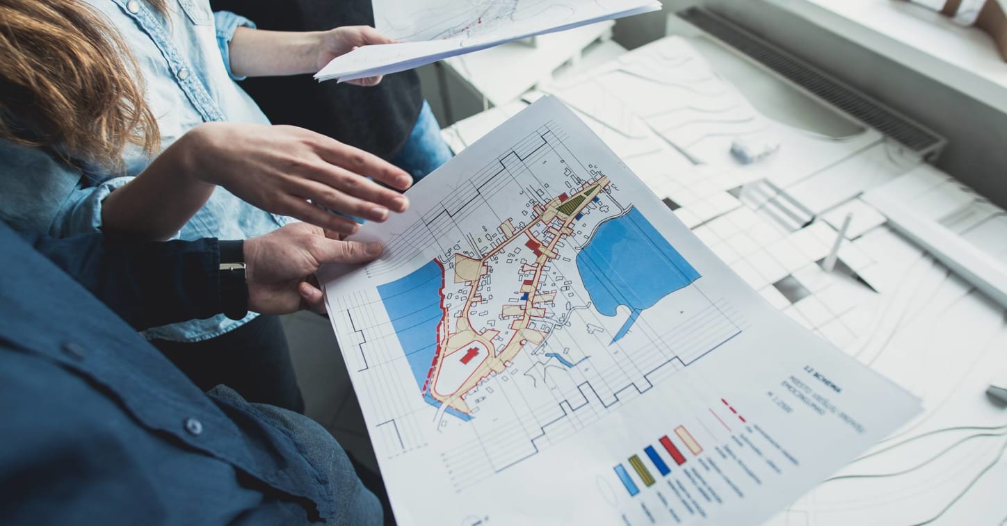
Innovative Solutions in Geomatics (joint degree with Riga Technical University)
To train specialists in measurement engineering and geomatics, who have the latest specialised knowledges, skills to understand and analyse the interactions of knowledge in different fields of geomatics, skills to identify challenges and research problems, apply the acquired knowledge to find solutions, skills to optimise data collection and modelling, create innovative solutions for complex production processes, an ability to maintain and further develop competencies for work with everchanging technologies, for work in research institutions and PhD studies.
Admissions
Scholarships and Funding
Several scholarship options are available. Please check the University website for more information.
Several scholarship options are available. Please check the University website for more information:
Deadline: April 20th
Curriculum
1 semester
- Local Geodetic Networks
- Scientific Researches and Innovations
- Digital Terrain Models
- Computer Graphics in Geomatics
- Global Positioning Systems
- Fundamentals of Land Management
- Thematic Cartography
- Application Programms in Geomatics
- Terrestrial/Architectural Photogrammetry
2 semester
- Master Graduation Thesis 1
- Remote Sensing Methods
- Real Estate Cadastre
- Geodetic Laser Scaning Technologies (with course project)
- Building Information Modeling
- Geoinformation Systems Technology
3 semester
- Research Work 2
- Master Graduation Thesis 2
- Geoinformation Systems on the Internet
- Theoretical Cartography
Program Outcome
What Will Students Learn?
- To apply a modern laser scanning systems and knowledge of latest geomatics developments in the engineering field.
- Principal theoretical solutions in designing, creating and developing the building information modelling and remote sensing methods of investigating geodynamic processes with the use of remote measurements, and creative application of that knowledge.
- Geographic information systems (GIS), innovative technologies, their development trends and its application for specialized geomatics, surveying, cartography, cadastral needs, and creative application of that knowledge.
- The importance of geographic, cadastral information systems, formation of databases in the universal coordinate system for creating information systems of large territories, making international geodetic investigations. Students will be able to synthesize, analyze and suggest compatible interface solutions between geographic and cadastral information systems, remote sensing methods for measurement data processing and technical requirements.
- Understand and choose new, innovative design techniques and be able to apply them in engineering.
Program Tuition Fee
Career Opportunities
The graduates who completeInnovative solution in Geomatic study programme can work at state institutions, as well as in private companies, can take post-graduate studies.
Program delivery
1.5 years (3 semesters) graduation is finalized with the defense of Final project