Filters
Filters
- Masters
- MSc
- Sustainability and Environment
- Geography and Geospatial Technology
Sort by
134 Geography and Geospatial Technology MSc Degree Programs
Explore


Promoted
The George Washington University - Columbian College of Arts & Sciences
MS in Geography
- Washington, USA
- Online USA
MSc
Full time, Part time
2 years
On-Campus
English
The Master of Science in Geography and Environment degree program trains young professionals in areas of human and physical geography, while building on students’ working knowledge of geospatial techniques. With a faculty-to-student ratio of 1-to-2, our graduate students have exceptional mentorship and research opportunities.


Promoted
University of Otago
Master of Science (MSc) in Geography
- Dunedin, New Zealand
MSc
Full time
2 years
On-Campus
English
The Master of Science (MSc) in Geography at the University of Otago is a postgraduate research‑oriented degree that allows students to explore key spatial, environmental, and societal themes within human and physical geography. The programme blends advanced study with independent research.


Promoted
University of Helsinki
Master in Geography
- Helsinki, Finland
MSc
Full time
2 years
On-Campus
English, Finnish, Swedish
Our Master's Programme in Geography is based on high-quality research groups operating in some of the major fields of geography. It is divided into three study tracks: 1) physical geography, 2) human geography, and 3) geoinformatics.
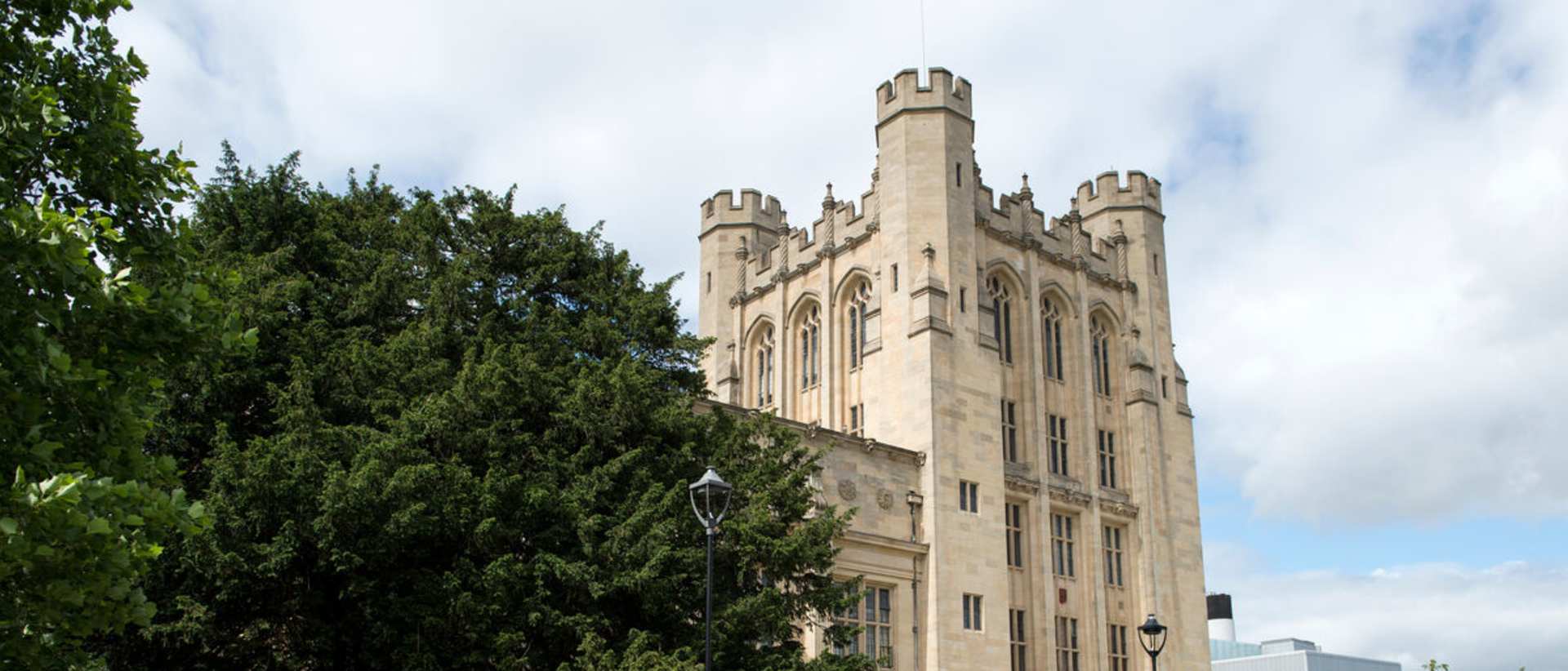

University of Bristol - Science and Engineering
MSc Human Geography: Society and Space
- Bristol, United Kingdom
MSc
Full time, Part time
1 year
On-Campus
English
This programme provides you with a rigorous grounding in social theory and mainstream debates and techniques in human geography. It also offers a thorough training in qualitative and quantitative methods. Options allow for the development of specialisms in historical-cultural themes, postcolonial and decolonial geographies, spatial modelling, and debates surrounding environmental conflict and science and technology.


KTH Royal Institute of Technology
MSc Transport and Geoinformation Technology
- Stockholm, Sweden
MSc
Full time
2 years
On-Campus
English
Functional and environment-friendly transport systems are vital in a sustainable society. Students gain expertise in transport and geoinformation technology and learn how to plan, build and maintain advanced transport systems. Graduates blend practical data collection and modelling skills with an interdisciplinary understanding of transport and geoinformation that lead to job opportunities in various sectors.
Find your perfect program
Answer a few questions and we'll match you with the programs that suit you!


University of Pécs
MSc in Geography
- Pécs, Hungary
MSc
Full time
4 semesters
On-Campus
English
During this 4-semester MSc in Geography, our students will focus on GIS methods and remote sensing tools applied in surface geomorphology both in a classroom environment and in the field. They will have the opportunity to join in and participate in research and scientific projects run by IGES. The Institute has research collaborations with global companies like ESA and SARMap, and international relations with research groups from Switzerland, Poland, Spain, Slovenia, China, and the US. These projects may provide internships for our students to experience the international atmosphere and scientific skills and knowledge.


Radboud University
MSc in Human Geography
- Nijmegen, Netherlands
MSc
Full time
1 year
On-Campus
English
The Master's programme in Human Geography addresses the relationship between human activities and their spatial environment in a number of topical fields. It takes a critical, emancipatory approach to the field by engaging with the less privileged in society, but also trying to contribute to positive change and development in many different fields. Within the Master's Human Geography, you have a choice between four important Master's specialisations, as well as the option to add to this with an Educational Master.
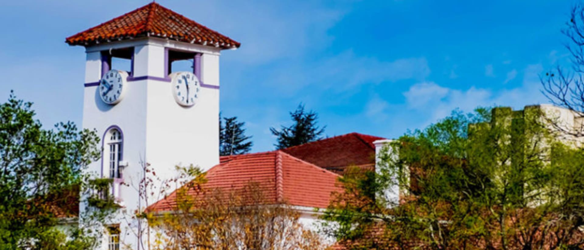

University of Fort Hare
Fast-track counseling
Master of Science in Geography
- Alice, South Africa
- Bisho, South Africa
- + 1 more
MSc
Full time
1 year
On-Campus
English
Fast-track counseling
A Master of Science in Geography provides a comprehensive understanding of the complex relationships between people, places, and the environment, offering students the tools to analyze spatial patterns and processes across local, regional, and global scales. This degree covers a broad range of topics, including physical geography, human geography, environmental change, and geographic information systems […]


Eszterházy Károly Catholic University
Master of Science in Geography
- Eger, Hungary
MSc
Full time
4 semesters
On-Campus
English
Our Geographer MSc, training covers both areas and provides specialized knowledge to help you learn as thoroughly as possible about the complex relationship of human society and the environment. The Institute of Geography and Environmental Sciences of Eszterházy Károly Catholic University in Eger provides you with the most up-to-date knowledge and skills.


University of Southampton
MSc in Geographical Information Systems and Remote Sensing
- Southampton, United Kingdom
MSc
Full time
1 year
On-Campus
English
The MSc in Geographical Information Systems and Remote Sensing equips you with critical theoretical knowledge and the skills to become an expert in GIS, Geospatial Analysis and Earth Observation. You’ll explore the fundamentals of GIS and remote sensing, and build your skills to observe, analyse.


University of Groningen
MSc in Economic Geography
- Groningen, Netherlands
MSc
Full time
1 year
On-Campus
English
In the master's in Economic Geography, you will learn to understand these region-specific socio-economic development paths. We focus on the actions of people and firms and how they govern regional economic development: where do entrepreneurs start their businesses, how do firms grow, where do people live, where do they move to and which jobs do they have? Can we understand their choices? With this information on an individual level, you will be able to understand regional developments and formulate policy avenues to govern such processes locally, nationally and internationally.
University of Groningen
MSc in Spatial Sciences (research): Islands and Sustainability (EM)
- Groningen, Netherlands
MSc
Full time
2 years
On-Campus
English
The ISLANDS programme combines a thorough training in scientific research with a thematic specialization in Islands and Sustainability. It also provides multi-faceted training of research skills for social science and environmental research, including Individual Research Training by senior staff and training to work in a multi- and interdisciplinary research group. ISLANDS students will be required to study at the University of Groningen in the first semester and the first half of the second semester of the first year of the programme. Then they study at one of the island-based universities of the consortium where they undertake a Research Internship Module. After returning to Groningen, students will again go to an island-based university to undertake their Master's thesis project in the second semester of the second year. ISLANDS graduates receive a double degree from the University of Groningen (including an acknowledgement that this is an Erasmus Mundus Joint Master degree involving all partner universities) and the island-based University. The ISLANDS programme builds on the existing Research Master in Spatial Sciences programme at the University of Groningen (RUG).
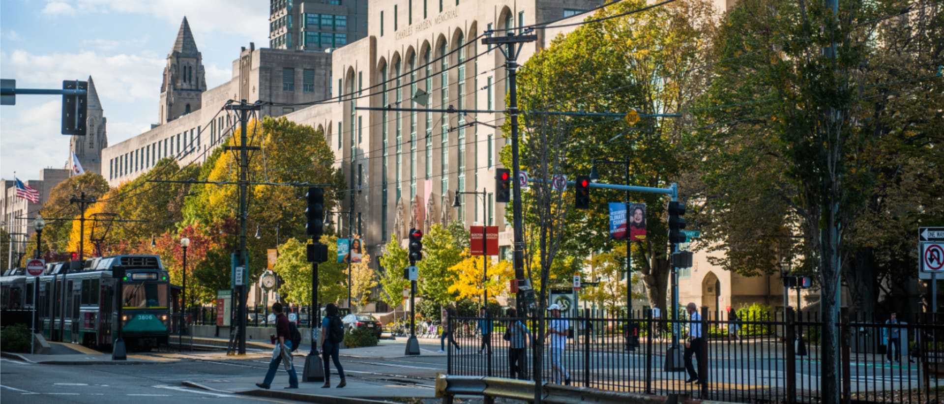

Boston University Graduate School of Arts & Sciences
MS in Remote Sensing & Geospatial Sciences
- Boston, USA
MSc
Full time
2 semesters
On-Campus
English
With an MS in Remote Sensing & Geospatial Sciences, your career options are endless. Private, public, and nonprofit sectors demand professionals with advanced technical skills who can organize and analyze spatial data sets. From governmental planning, defense, and transportation departments; to environmental, resource management, and public safety agencies; to consulting firms, research labs, and academia, your skills are in demand.


Vrije Universiteit Brussel
Master of Science in Geography
- Brussels, Belgium
MSc
Full time
2 years
On-Campus
English
Looking for a program with a research focus on physical geography, social and urban geography, or GIS and spatial modeling? Then this competitive inter-university program is perfect for you! VUB and KU Leuven offers this innovative and internationally recognized program on fundamental and applied aspects of geosciences.
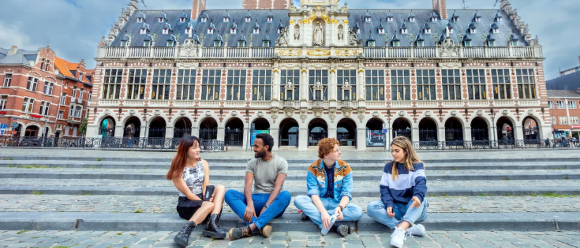

KU Leuven
Master of Geography
- Leuven, Belgium
MSc
Full time
2 years
On-Campus
English, Dutch
On a rapidly changing planet, geography integrates the study of physical and human environments to solve real-world problems at all spatial scales. This master provides the tools to grapple with these problems, including a deeper understanding of geographical problems and methods, knowledge of theoretical debates within the discipline, and practical training in the use of geographical techniques.
Learn more about Geography and Geospatial Technology MSc degree programs
Mapping the physical and human world takes on new depth at postgraduate level. An MSc in Geography and Geospatial Technology moves well beyond foundational concepts, placing you at the intersection of spatial analysis, environmental systems, and data-driven research.
The program fosters independent inquiry and the ability to synthesize evidence across scales, from local land-use patterns to global climate systems. You'll work with remote sensing methods, geographic information systems, and geodatabases, developing competencies specific to spatial problem-solving rather than general data work. Modules often cover cartographic modeling, satellite image interpretation, terrain analysis, and geostatistical techniques applied to real research questions.
At MSc level, you're expected to contribute original analysis, not just apply existing methods. Dissertation or capstone work typically involves primary fieldwork, industry-linked projects, or advanced spatial modeling. Graduates move into roles in urban and regional planning, environmental consultancy, humanitarian logistics, climate research, and geospatial intelligence. The sector increasingly values professionals who can connect spatial data to policy decisions, making this an area where analytical depth translates directly into career traction.